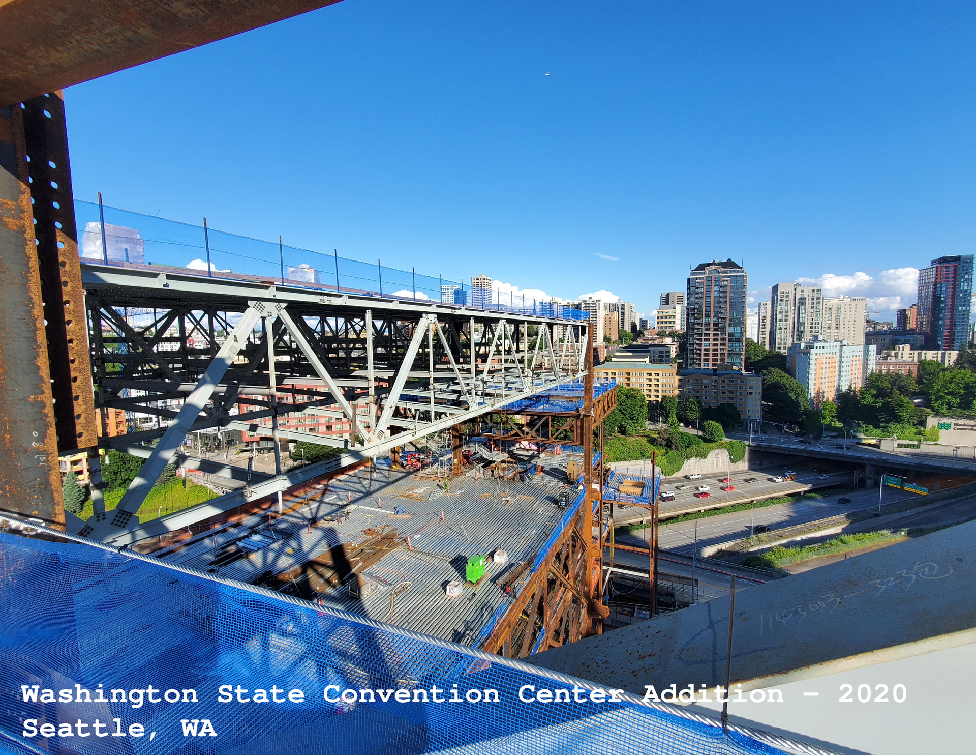
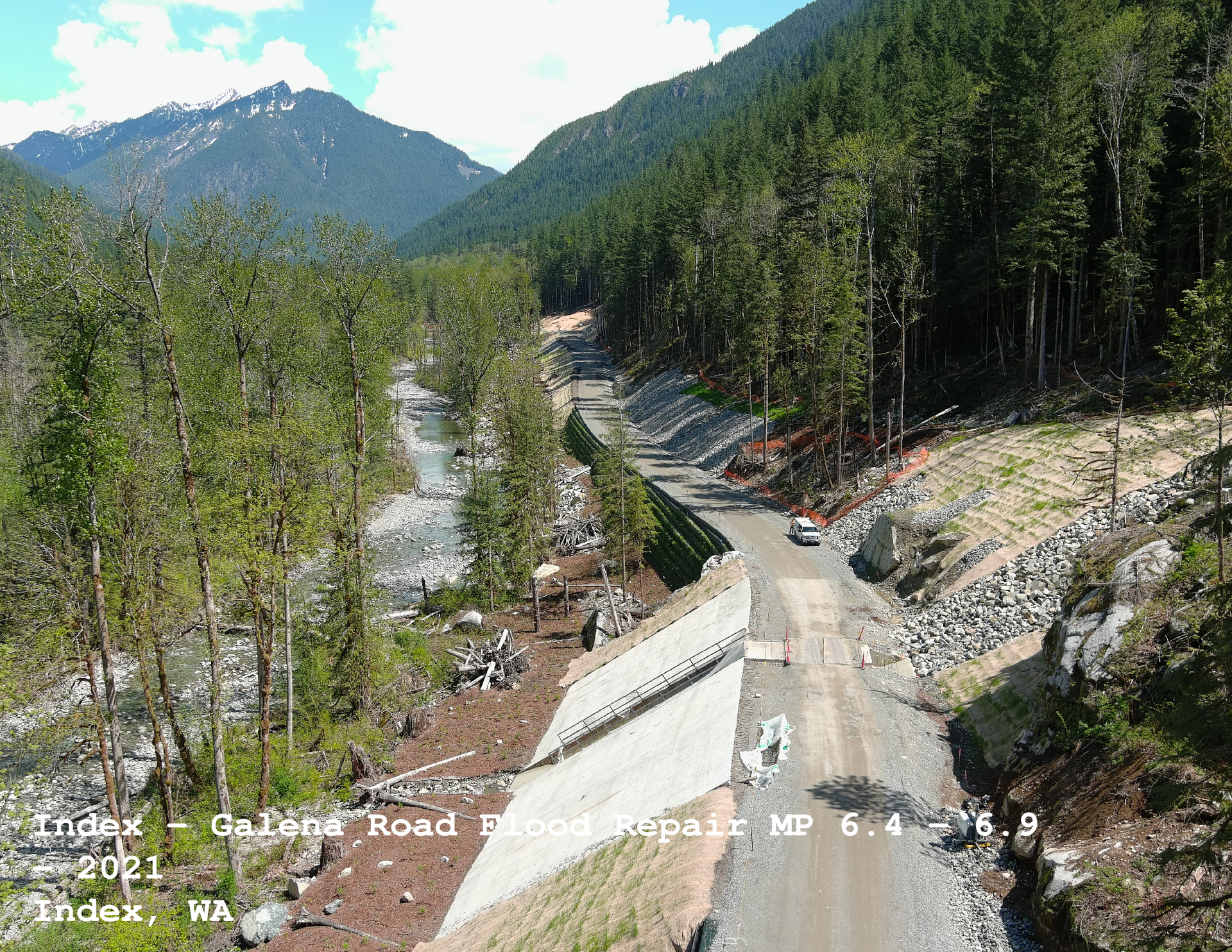
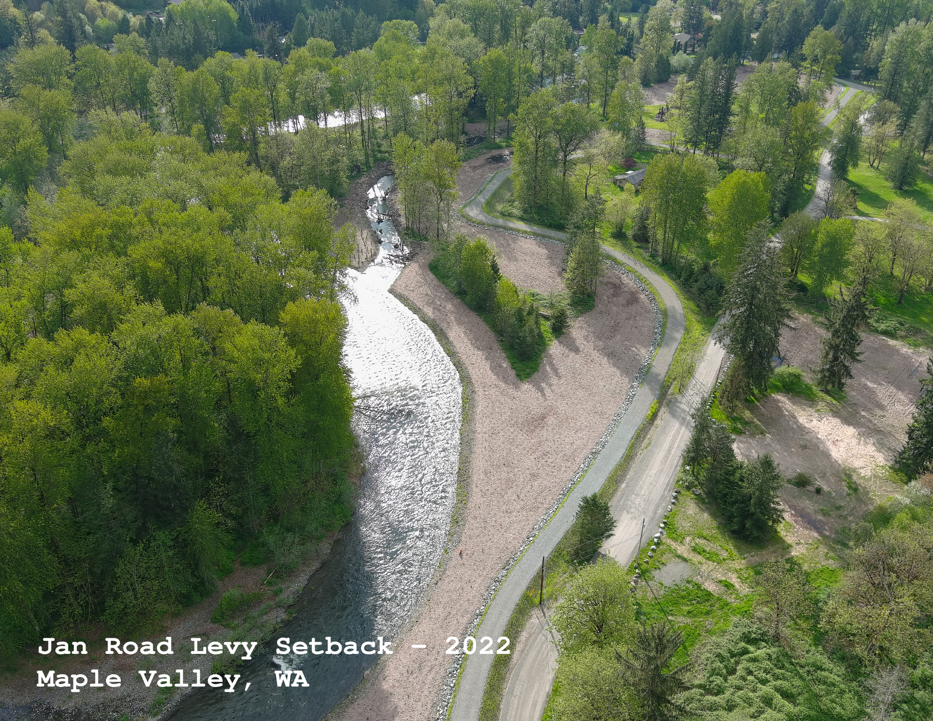
NorthLine Surveying logo
  • Home
  • Services
    • Construction Site Surveying
      • Bridge Surveying/Staking
      • Design-Build Mapping and Construction Staking
      • Earthworks Quantity Surveying and Mapping
      • Multi-Level Building Surveying/Staking
      • Plat Surveying/Staking
      • Roadway Surveying/Staking
      • Settlement and Disturbance Monitoring
      • Structural Surveying/Staking
      • Survey Monument Restoration and Recovery
      • Tunnel Surveying/Staking
    • Construction Survey Experts
      • Constructability Review
      • Digital Terrain Modeling
      • Earthwork Takeoffs
      • Machine Control Solutions and Technical Support
      • Project Plan Data Analysis/QC
      • Shop Drawing Detailing
    • Land Development Planning
      • Boundary Line Adjustments/Agreements
      • Condominiums
      • Long Plats
      • Right-of-Way Planning
      • Rural Clusters
      • Short Plats
      • Testamentary Plats
    • Land Surveying Services
      • Aerial Photogrammetry
      • Aerial Photography
      • ALTA/ACSM Land Title Surveying
      • Boundary Line Adjustment Surveying
      • Boundary Surveys
      • Condominium Surveying
      • FEMA/LOMA Surveying
      • Height Verification Surveying
      • Hydrographic and Bathymetric Surveying
      • Lot Surveying
      • Plat Surveying
      • Right-of-Way Surveying
      • Short Plat Surveying
      • Topographic Surveying
      • Utility As-built Surveying
    • Urban Land Use Planning
      • Boundary Line Adjustments/Agreements
      • Condominiums
      • Long Plats
      • Right-of-Way Planning
      • Rural Clusters
      • Short Plats
      • Testamentary Plats
    • Professional Land Surveyors
  • About Us
    • Our Team
  • Consultation
  • Portfolio
  • FAQ
  • Contact
CALL US

Portfolio

Project Portfolio

Construction of Washington State Convention Center Addition in Seattle, WA, 2020. Metal frame, city skyline, blue sky.
Button
Overhead view of Covington Connector road, 204th Ave SE & SR 516 in Covington, WA, with surrounding homes and trees.
Button
Aerial view of 35th Ave SE in Bothell, WA, with residential housing and roadways.
Button
Galius Road under construction, with a mountain and forest backdrop. A car drives on the gravel road.
Button
SR 204 in Lake Stevens, WA, showing roadway with cars, adjacent houses, and trees.
Button
Aerial view of a three-way roundabout intersection with cars, trees, and red/white paving.
Button
Aerial view of Jan Road Levy Setback in Maple Valley, WA, with a winding river, path, trees, and sunlight.
Button
Concrete staircase project in Federal Way, WA, with tiered seating and landscaping, under a cloudy sky.
Button
Construction surveying of a culvert. Workers in safety vests are using equipment, with gray concrete and gravel.
Button
GET ESTIMATE
NorthLine Surveying logo

We are a team of professionals and high performers passionately committed to providing the highest level of service to our clients. Nothline Surveying Inc. is a place where mastery is always in the mission.

Our highly skilled
and experienced staff of professionals are committed to our projects, our clients, and the relationships we have with them.

Contact Info

Phone:

360-899-9598

Email:

officeadmin@northlinesurveying.com

Address:
1580 Port Drive, Burlington, WA 98233

Navigation

  • Home
  • Services
    • Construction Site Surveying
      • Bridge Surveying/Staking
      • Design-Build Mapping and Construction Staking
      • Earthworks Quantity Surveying and Mapping
      • Multi-Level Building Surveying/Staking
      • Plat Surveying/Staking
      • Roadway Surveying/Staking
      • Settlement and Disturbance Monitoring
      • Structural Surveying/Staking
      • Survey Monument Restoration and Recovery
      • Tunnel Surveying/Staking
    • Construction Survey Experts
      • Constructability Review
      • Digital Terrain Modeling
      • Earthwork Takeoffs
      • Machine Control Solutions and Technical Support
      • Project Plan Data Analysis/QC
      • Shop Drawing Detailing
    • Land Development Planning
      • Boundary Line Adjustments/Agreements
      • Condominiums
      • Long Plats
      • Right-of-Way Planning
      • Rural Clusters
      • Short Plats
      • Testamentary Plats
    • Land Surveying Services
      • Aerial Photogrammetry
      • Aerial Photography
      • ALTA/ACSM Land Title Surveying
      • Boundary Line Adjustment Surveying
      • Boundary Surveys
      • Condominium Surveying
      • FEMA/LOMA Surveying
      • Height Verification Surveying
      • Hydrographic and Bathymetric Surveying
      • Lot Surveying
      • Plat Surveying
      • Right-of-Way Surveying
      • Short Plat Surveying
      • Topographic Surveying
      • Utility As-built Surveying
    • Urban Land Use Planning
      • Boundary Line Adjustments/Agreements
      • Condominiums
      • Long Plats
      • Right-of-Way Planning
      • Rural Clusters
      • Short Plats
      • Testamentary Plats
    • Professional Land Surveyors
  • About Us
    • Our Team
  • Consultation
  • Portfolio
  • FAQ
  • Contact
© 2026 

All Rights Reserved | NorthLine Surveying

Share by: